ARGUS Overwatch
Live awareness for the areas that matter.
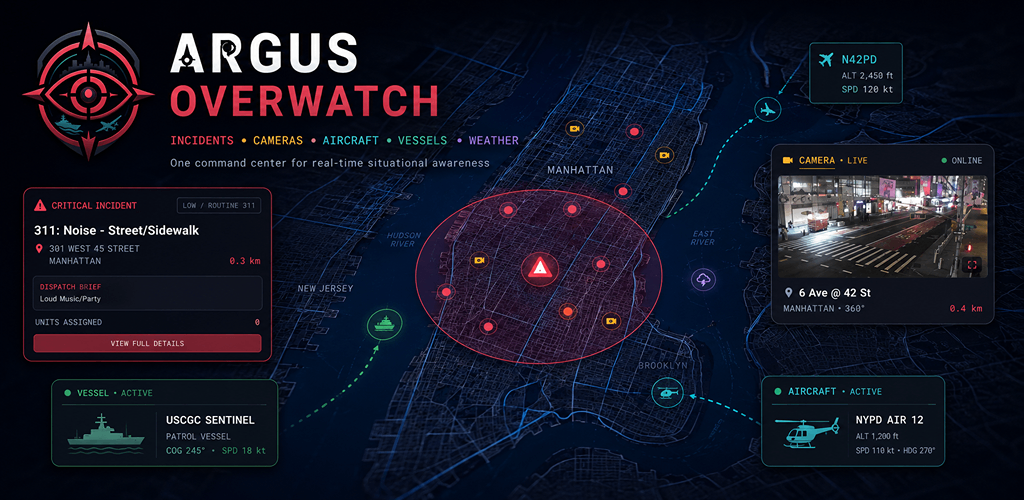
A focused situational awareness dashboard for incidents, traffic cameras, weather, aircraft, vessels, local news, and emergency radio.
ARGUS Overwatch is an independent information tool, not an emergency service. Data may be delayed, incomplete, unavailable, or revised by the original provider. Do not use it as a substitute for official instructions, emergency dispatch, navigation, aviation operations, or maritime navigation.
A closer look
See it in action
See the Full Situation at a Glance
Track incidents, cameras, aircraft, weather, and source freshness in one tactical dashboard.
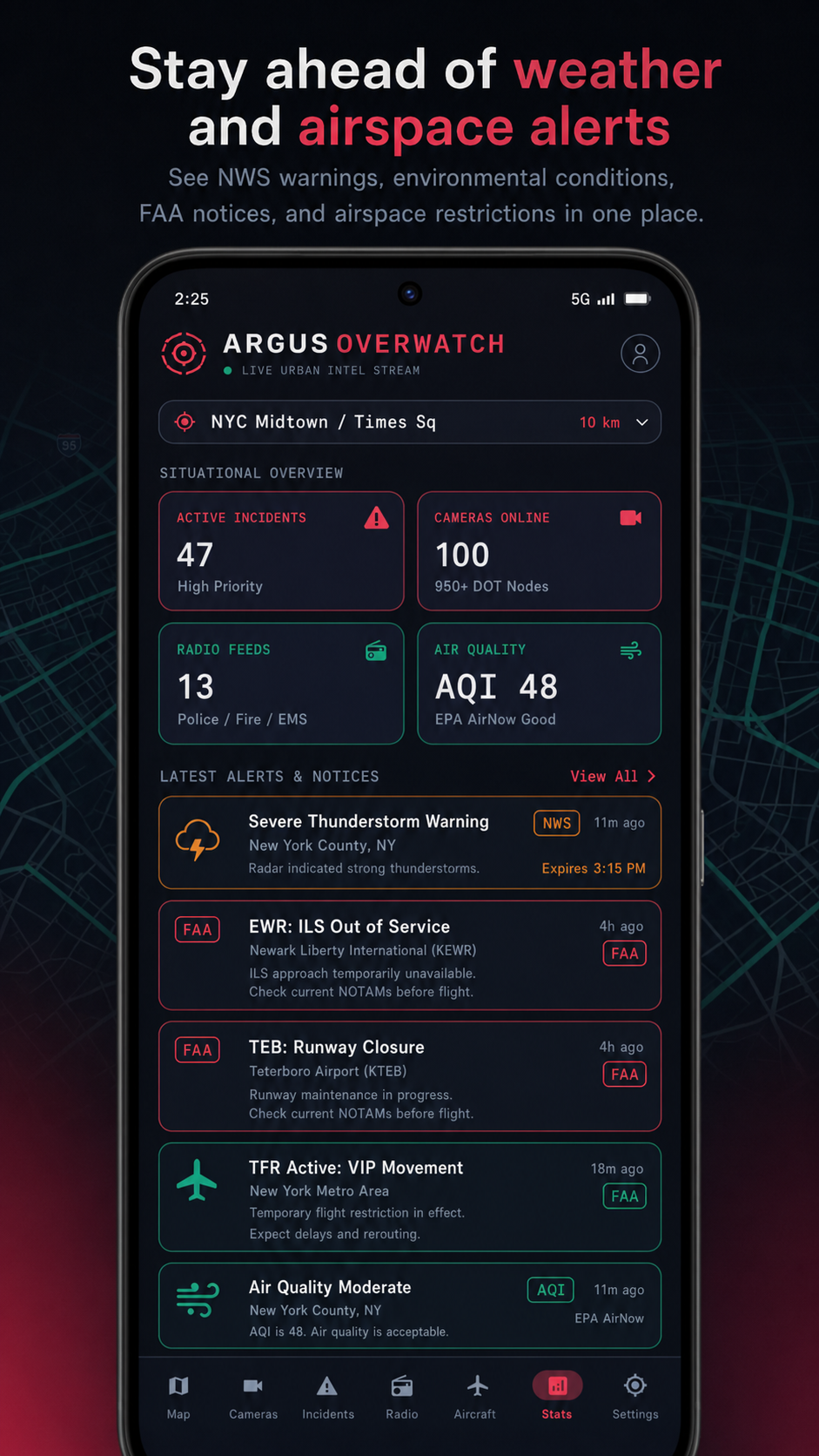
Stay Ahead of Weather and Airspace Alerts
Review severe-weather warnings, air quality, FAA notices, and environmental signals.
Your Local Operations View
Bring priority incidents, nearby signals, and monitoring metrics into one command center.
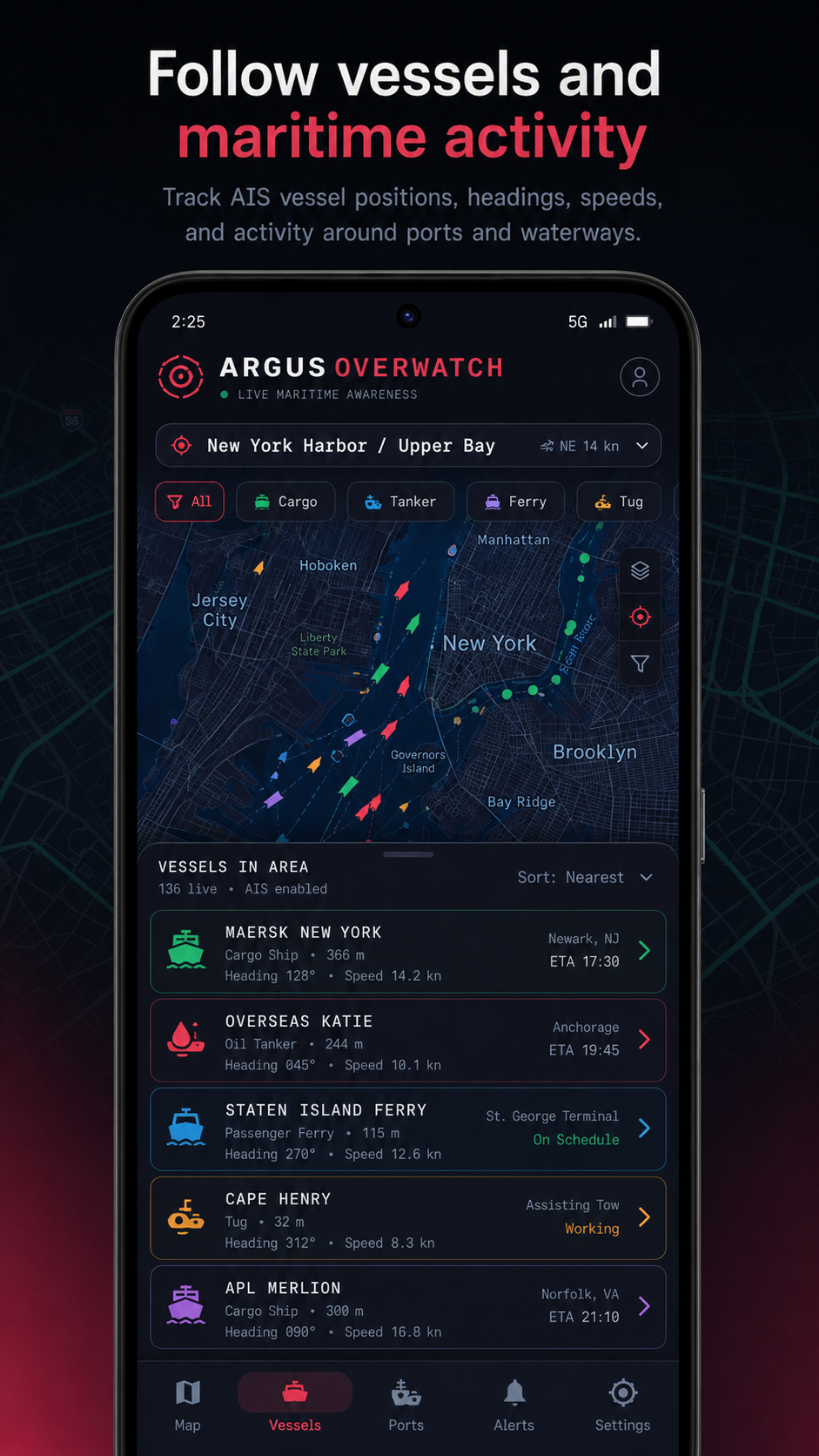
Follow Vessels and Maritime Activity
Track AIS positions, headings, speeds, and activity around ports and waterways.
Monitor Traffic Cameras Near You
Browse live camera feeds with location filters, bookmarks, and quick full-screen access.
Focus on the Signals That Matter
Set a monitoring zone and radius for the places you need to watch.
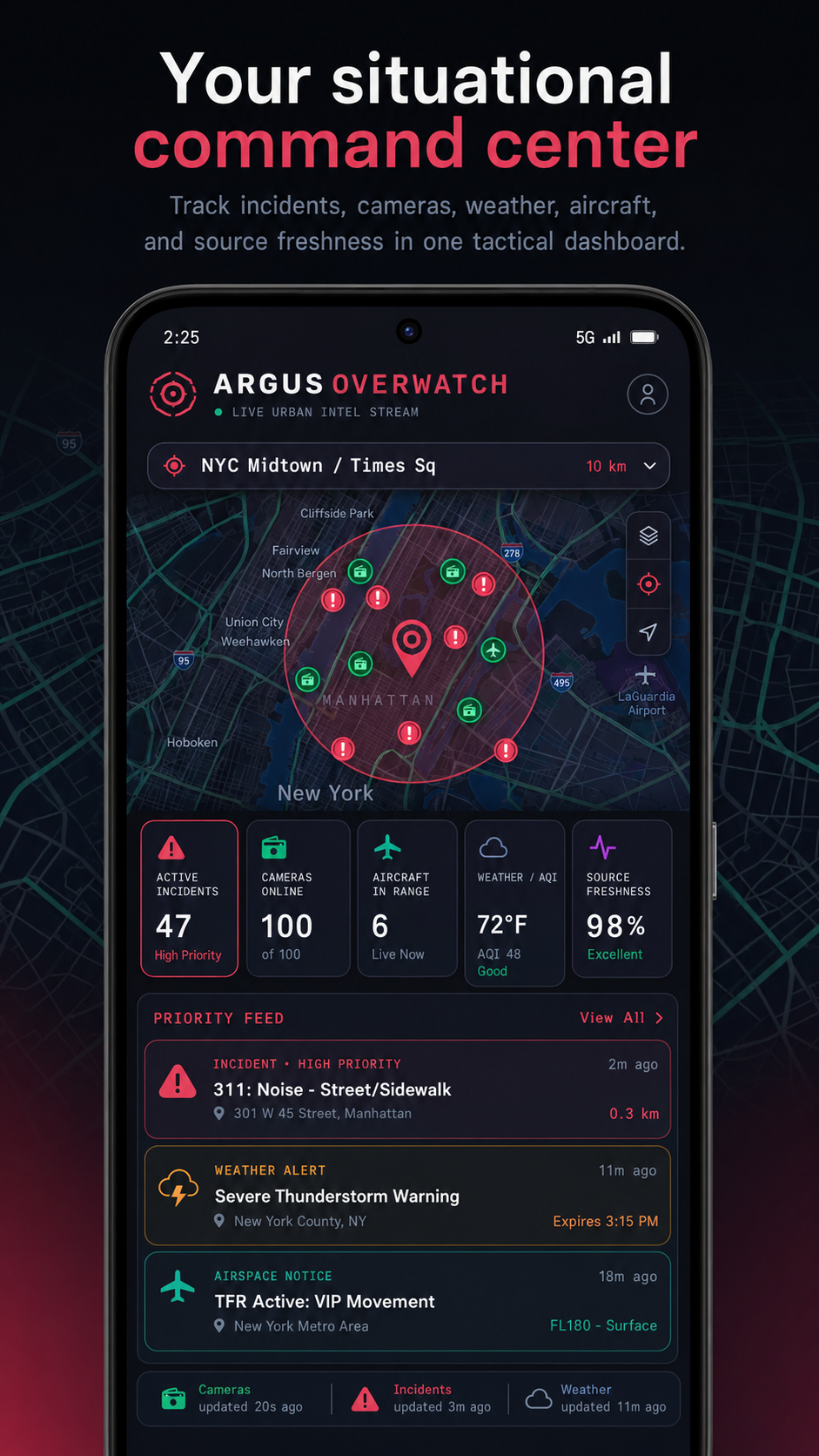
Your Situational Command Center
Combine incidents, cameras, weather, aircraft, and freshness in one tactical dashboard.
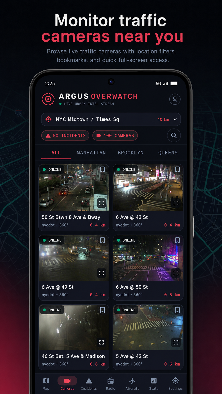
Monitor Traffic Cameras Near You
Browse available traffic cameras and understand their location, source, and status.
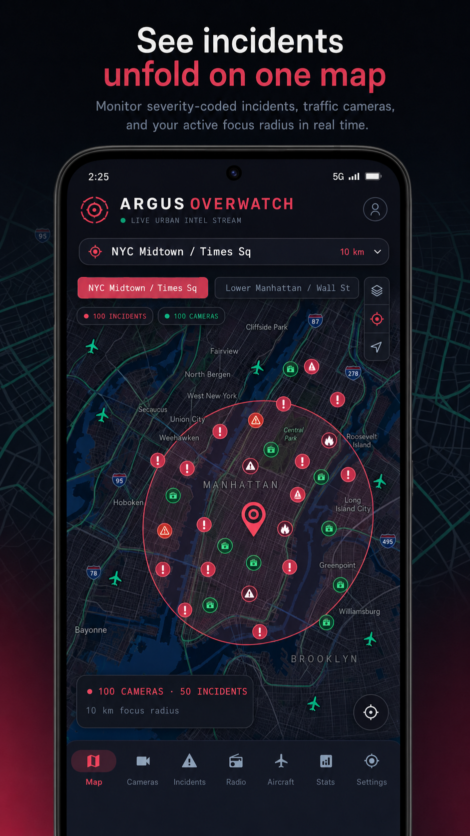
See Incidents Unfold on One Map
Watch severity-coded incidents, traffic cameras, and your focus radius update in real time.
About ARGUS Overwatch
ARGUS Overwatch brings public-data signals into one focused command center. Choose a location, set a monitoring radius, and build a clearer operational picture for a commute, property, severe weather, airspace activity, or marine traffic.
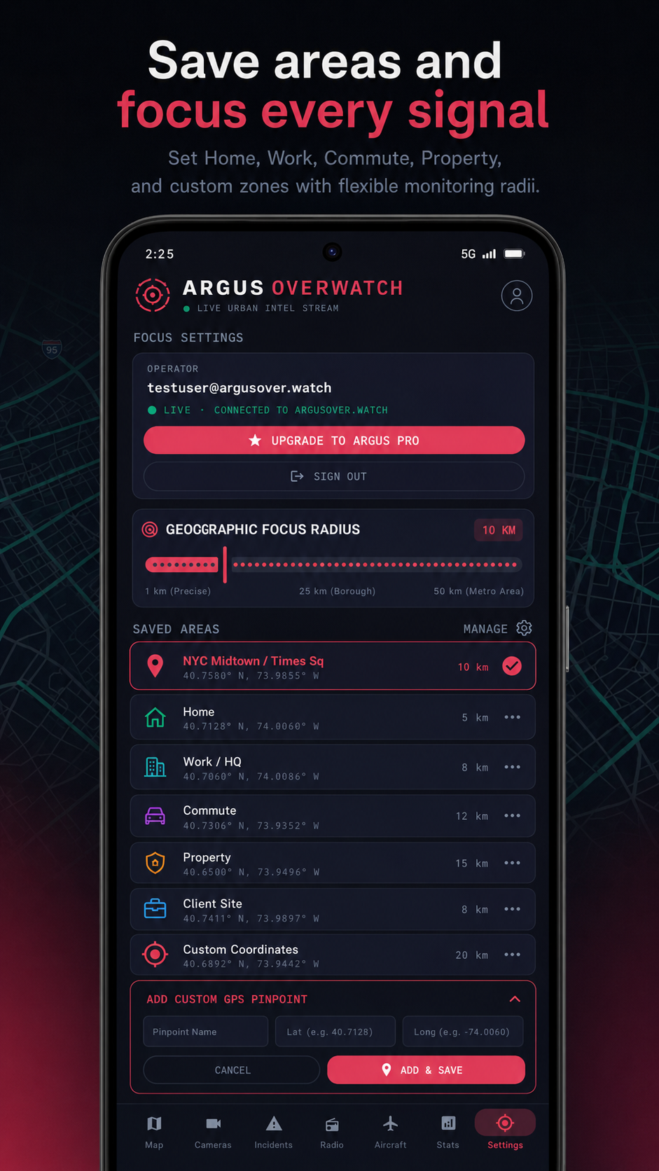
Explore a dark tactical map with incidents by severity, nearby traffic cameras, aircraft movement, vessel activity, weather alerts, airspace restrictions, and your active focus radius. Save places such as home, work, a job site, or a custom coordinate.
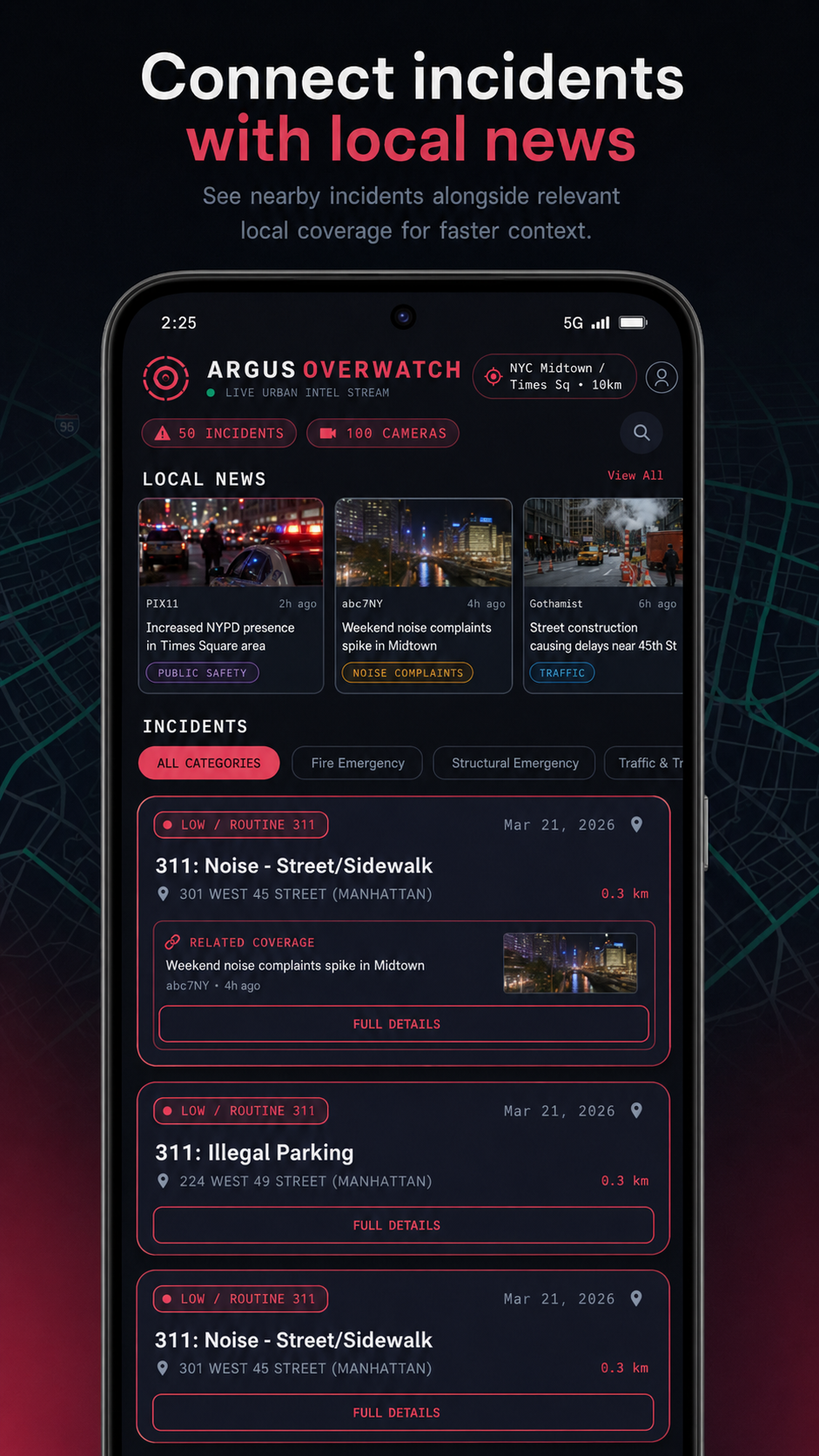
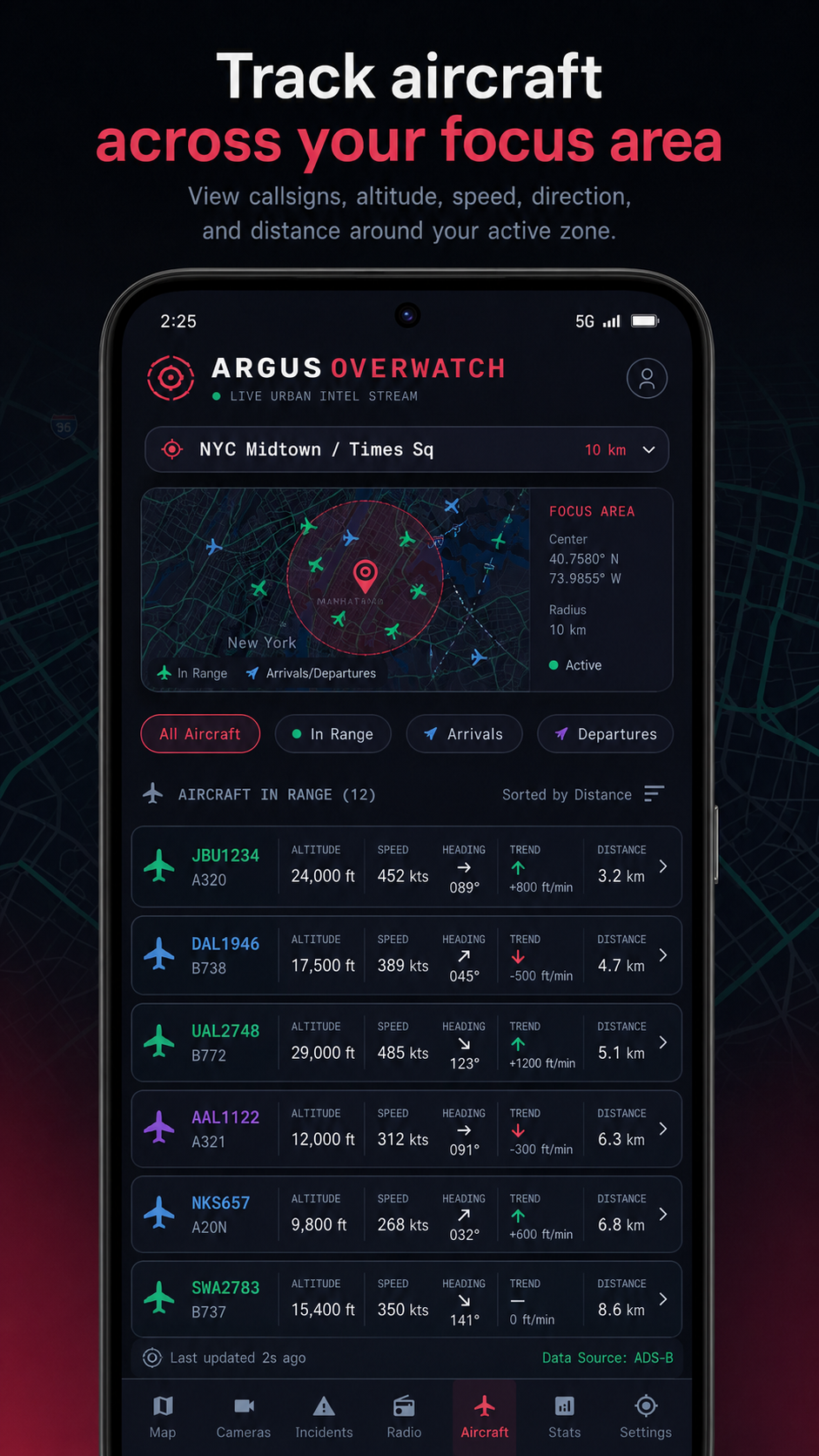
Follow chronological incident feeds, browse and bookmark live camera views, review aircraft and AIS vessel details, monitor weather and environmental signals, and open supported emergency radio streams. ARGUS shows source attribution and freshness wherever possible so you can understand how current a signal is.
Key Features
- One situational awareness dashboard
- Tactical map with incidents, cameras, aircraft, vessels, weather, and airspace layers
- Custom monitoring centers and focus radii
- Chronological incident feed with severity, source, location, and freshness
- Live traffic camera browsing with bookmarks and full-screen views
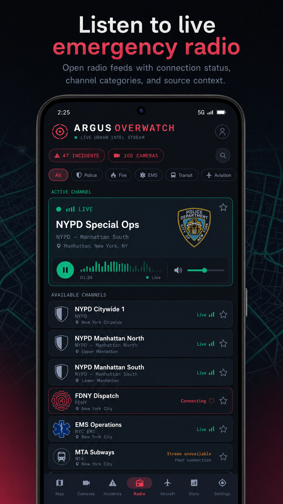
- Aircraft positions, aviation alerts, NOTAMs, and restrictions where available
- AIS vessel positions and maritime activity around supported coastal areas
- Weather warnings, air quality, earthquakes, and environmental signals
- Emergency police, fire, EMS, aviation, and transit radio streams where available
- Source attribution and freshness transparency
Perfect for
Who it's for
- Commuters and frequent travelers
- Property owners and field teams
- Weather, aviation, and maritime watchers
- Operations-minded people who monitor local conditions
- Anyone who wants a focused view of public situational data